
See what changed in your building. Prove when.
Walk the space once with the FrontView 360° kit, and our AI turns it into a measurable 3D model: a tour for brokers to send to tenants, dimensions for architects, designers and contractors to work from, proof of condition for managers and owners, and equipment pinned with close-ups for engineers. Each walk after that is dated and compared with the last.

- #1 · Oct 2025
- #2 · Apr 2026
- #3 · Sep 2026
- Three private officesAdded · Floor 2
- Ten desks in the open officeAdded · Floor 1
- Ponding at the roof drainChanged · Roof
FrontView AI: since April 2026, floor 2 gained three private offices and floor 1 ten desks. The roof drain shows ponding.
Buildings change — leases turn over, walls come down, equipment gets replaced, and the record is scattered across PDFs, photos, and someone’s memory. Recapture and rewind the space to any date with documented detail.
One record. A different payoff for everyone who uses it.

“Can you send me the space before we tour?”
One link: a 3D tour, a measured floor plan and photos, ready the same day.
For brokers
“We need another site visit to measure.”
Measure any wall, door or ceiling height in the record, from your desk.
For designers & architects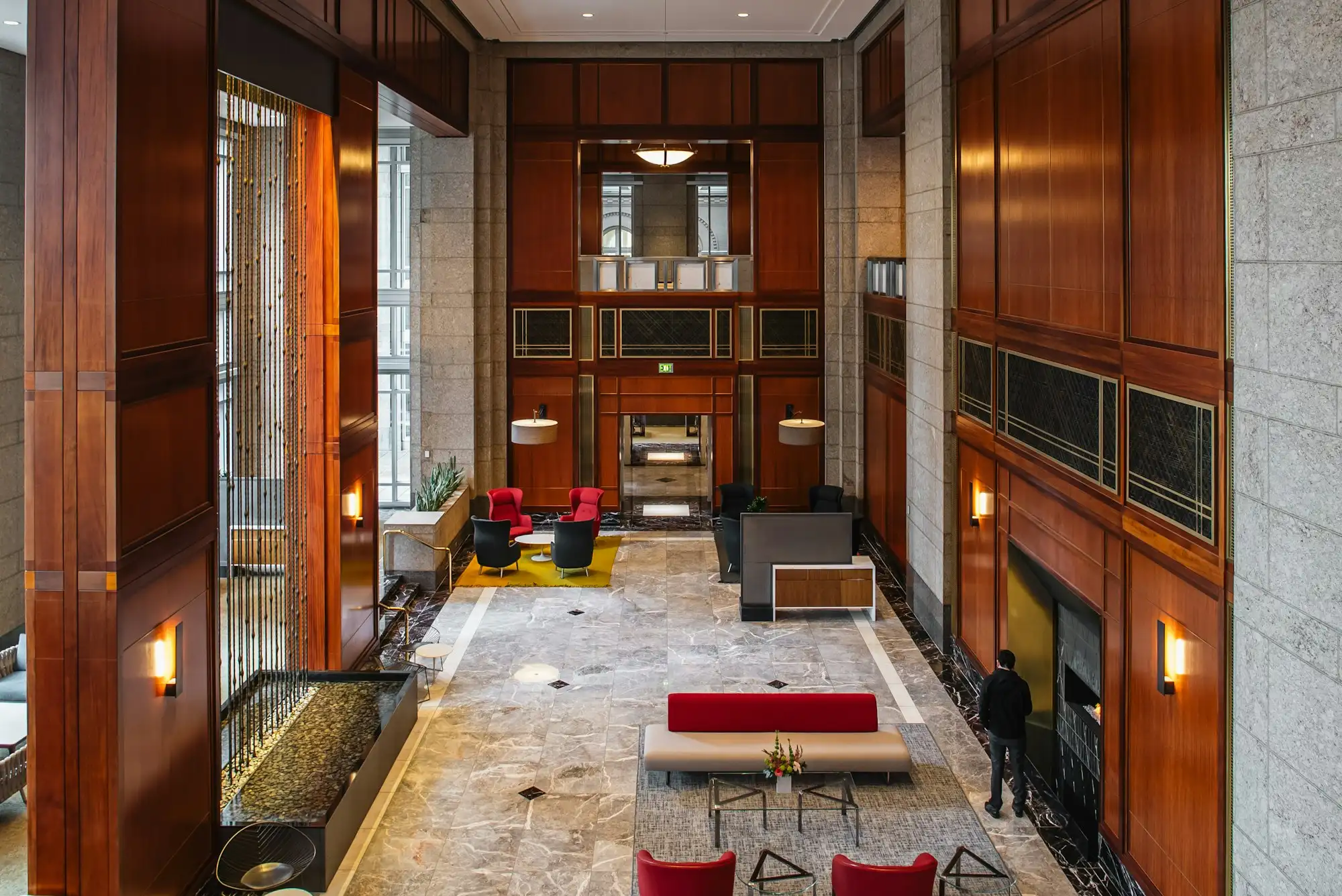
“That wall was there when we moved in.”
A dated 3D record from move-in settles it in minutes, not letters.
For property managers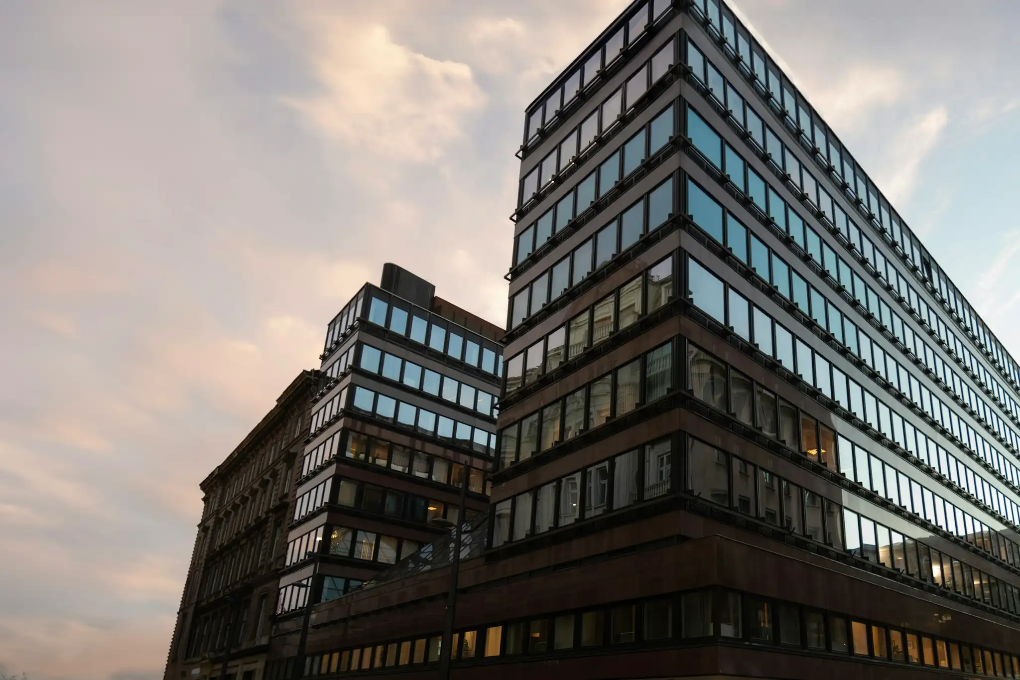
“What changed since we bought it?”
A dated, measurable history of each building, ready for the next lender, buyer or engineer.
For owners & investors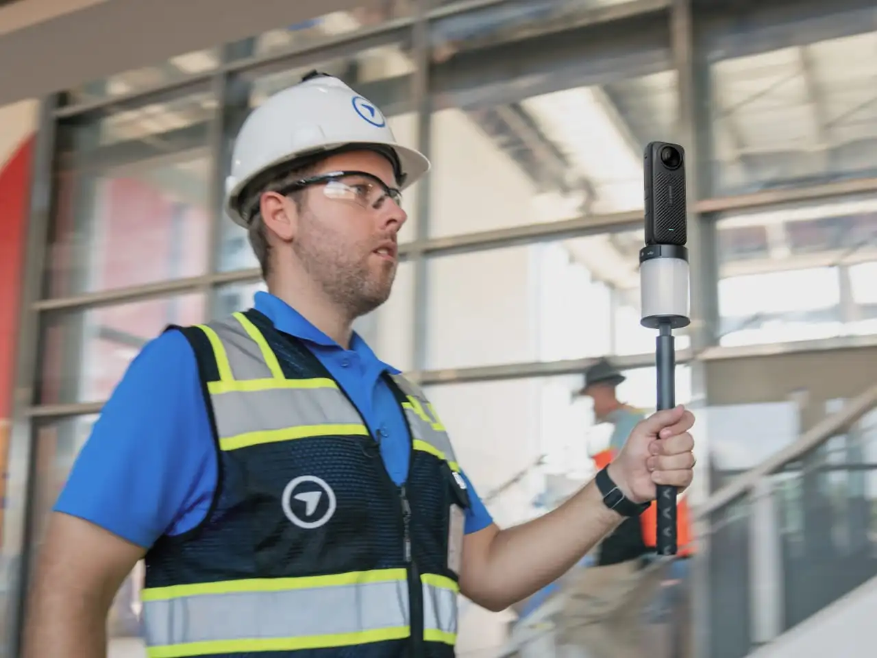
“Where is the main shut-off? When was RTU-2 replaced?”
The shut-off valve and the rooftop units are pinned in the record, with close-ups and history.
For facilities & engineers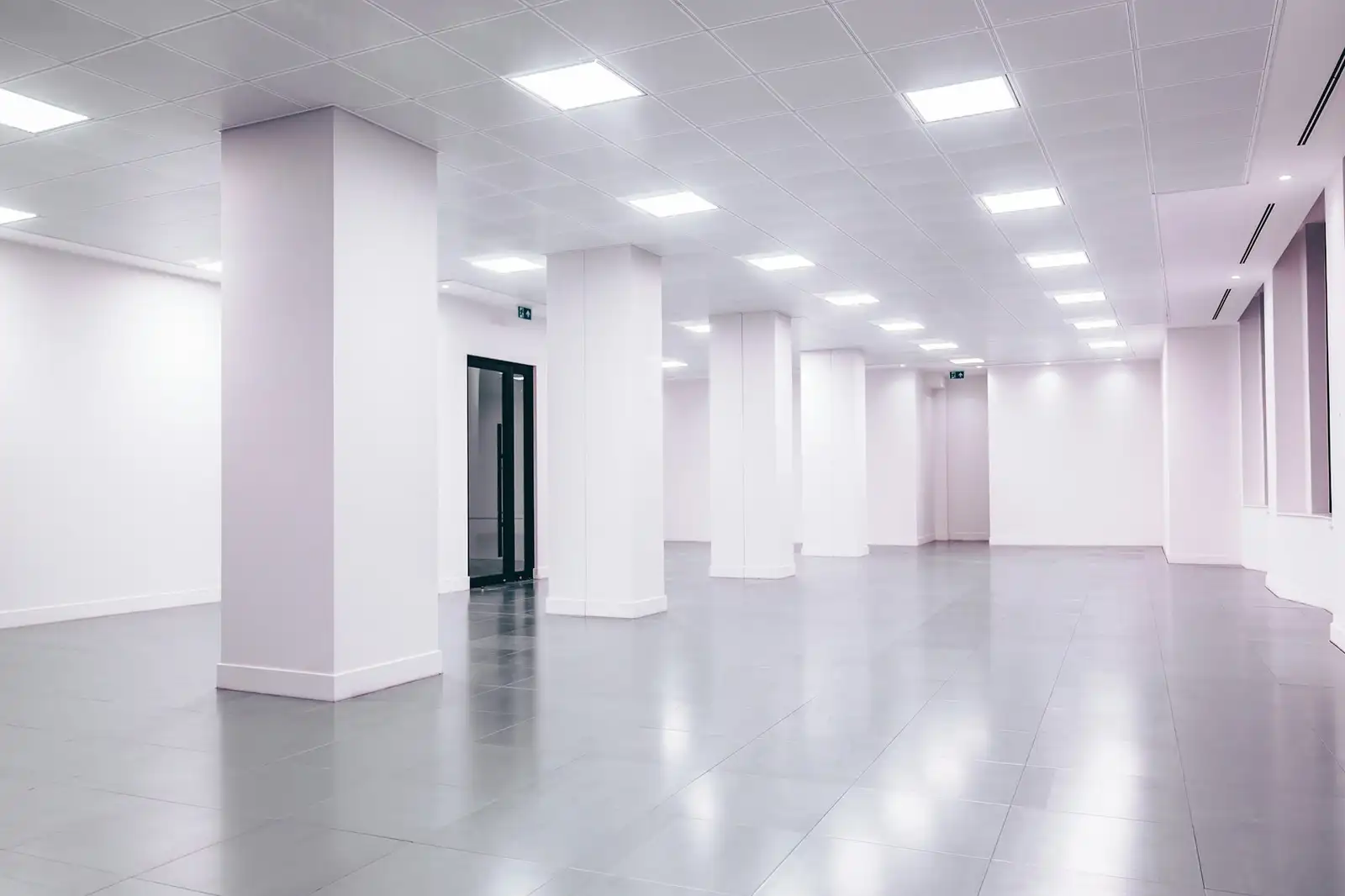
“Will our team fit? What will the build-out cost?”
Walk and measure the space in your browser, and quote from real dimensions.
For tenants & contractors


Walk your building with AI.
FrontView AI works from your building’s own measurable record: its walls, doors and dimensions, and each capture since the first.
- 360° video

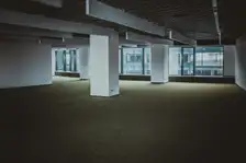
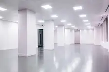 18'-6"Measurable 3D
Builds the record
From 360° video to a measurable 3D model and floor plans, no tape measure needed.
- Coverage14%
Guides the capture
Watches coverage as you walk and tells you what’s missing before you leave the building.
- How many desks fit on floor 2?
Answers questions
Ask the floor plan in plain English: how many desks fit, what if the conference room goes.
#2 · Apr 2026 #3 · Sep 2026 3 officesConference roomRoof drainFlags what changed
Walls, equipment and visible condition, compared between any two captures.


Walk it once. Keep it for good.
Walking a building this week? Take FrontView with you.
We send the kit to you. Start a building’s record today, and capture it again whenever it changes.
